Limited starting information
A pin or address does not explain boundaries, planted areas, access or the work taking place.
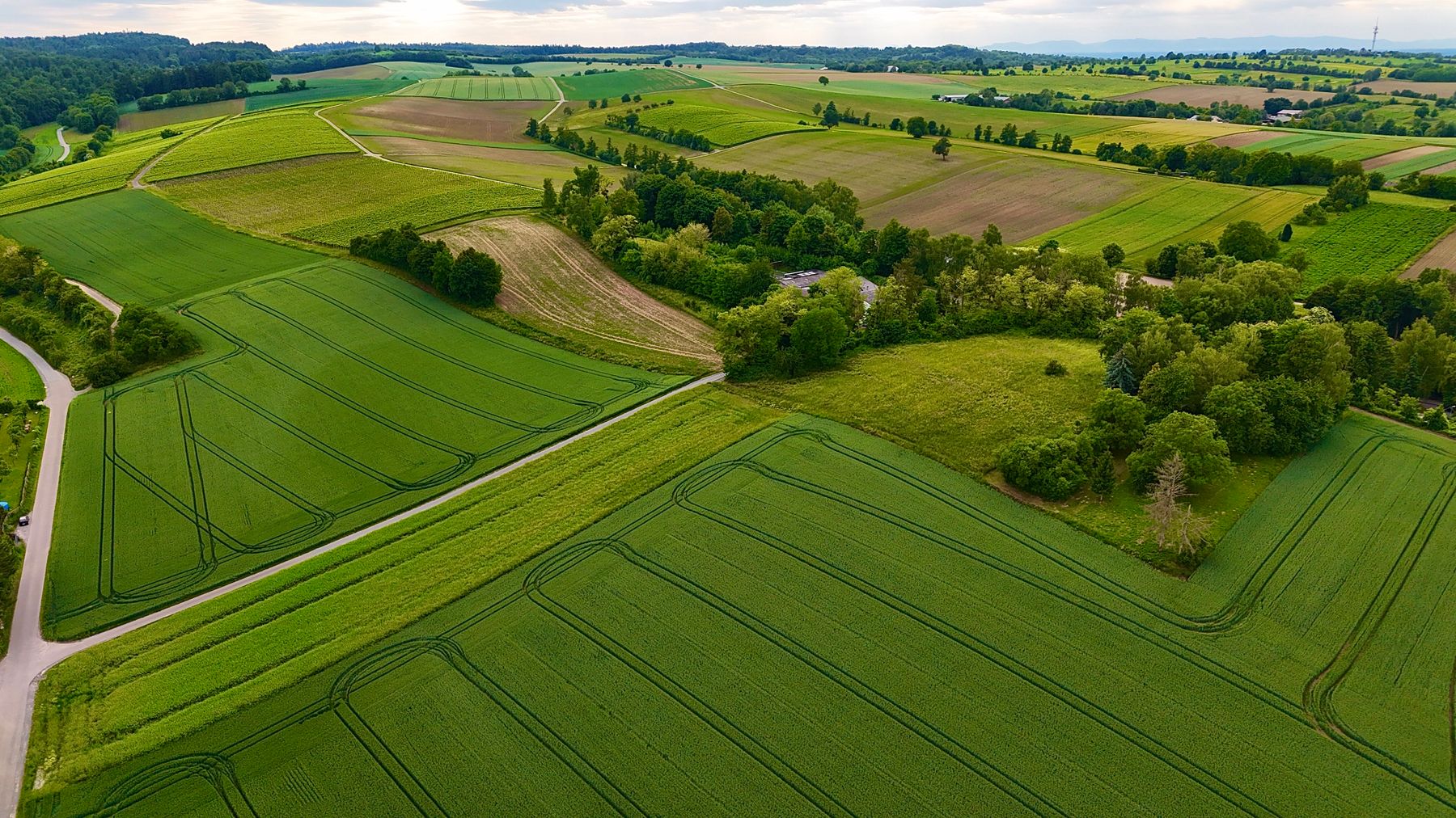
Verify farms and land
Build a sourcing decision on more than a supplier declaration. Haloglide brings mapped places, field records and land assessments together so your team can understand the farm, focus visits and keep the evidence connected to what it supplies.
Discuss your workflowThe challenge
You may have a GPS pin, a declared crop and a certificate, but still need to understand what is on the land and whether it can support the supply you expect. Site visits matter, yet you cannot visit every location every season.
A pin or address does not explain boundaries, planted areas, access or the work taking place.
One farm has field records, another has a map and another only a declaration. Comparison becomes difficult.
An assessment loses much of its value when it cannot be followed to the location and lots it concerns.
What great looks like
The buyer can see which location supplies the material, the available evidence and what needs further field review. The team uses consistent questions without treating a remote assessment as a substitute for every site visit.
How Haloglide helps
01
Register the place, GPS coordinates or plot boundary and connect it to the source record. Keep boundary evidence and the declared crop available for review.
The source has a location people can follow.
02
Use Scout missions for the decision at hand. Fly Over maps features, Land Use assesses activity and viability, and Land Insights brings available soil, canopy, water and growing conditions into context. Coverage depends on place and assessment period.
The assessment answers a sourcing question, not just a request for more data.
03
Use permitted Haloglide Crew tasks for site observations, readings and photographs. Keep the location, time and field record beside the land assessment so human observations can address outstanding questions.
Remote and field evidence support the same review.
04
Review the evidence, record follow up and connect the source lots. Reuse the relevant report for partner and assurance requests. For EUDR, prepare a separate operator due diligence review rather than treating farm verification as automatic compliance.
The sourcing decision remains supported when the product moves.
A connected example
An agricultural buyer is assessing a new supplier. The aim is to understand the source and decide what to check next, not to approve a farm from a single image.
The supplier location becomes the starting point for the connected review.
Illustrative workflow and demonstration data. Not a live customer record.
The features behind the outcome
Ask specific land questions and keep the assessment with the source location.
Explore ScoutMap planted areas, buildings, roads and water to prepare a focused site review.
Explore Fly OverAssess farming activity, crop fit and operational viability.
Explore Land UseBring available soil, canopy, water and climate context into sourcing decisions.
Explore Land InsightsPut location aware mobile tasks, GPS and camera capture into the hands of permitted field roles.
Explore Haloglide CrewStart with a location, lot or client and follow the records that matter.
Explore Mission ControlBring a supplier location, the crop you expect and the sourcing questions you need to answer. We can show the connected review without redesigning your whole supply programme.
Book a demo